From the Wiki https://en.wikipedia.org/wiki/Okefenokee_Swamp
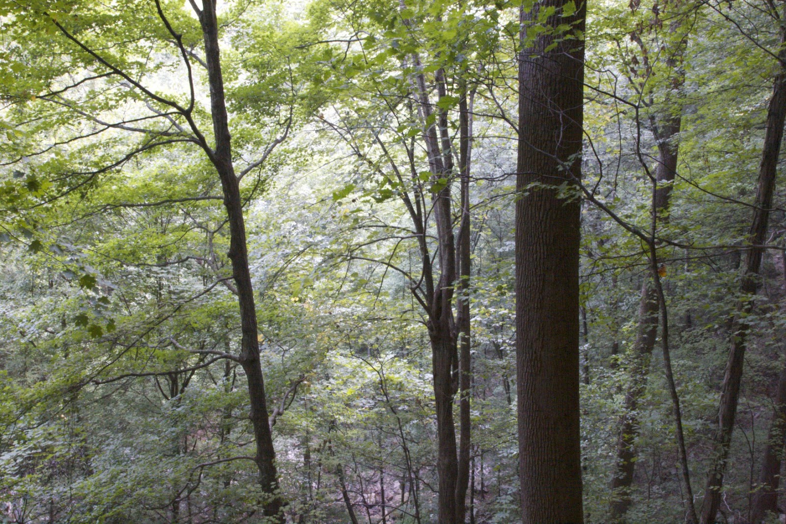
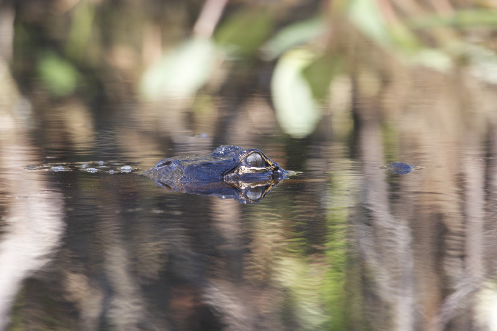
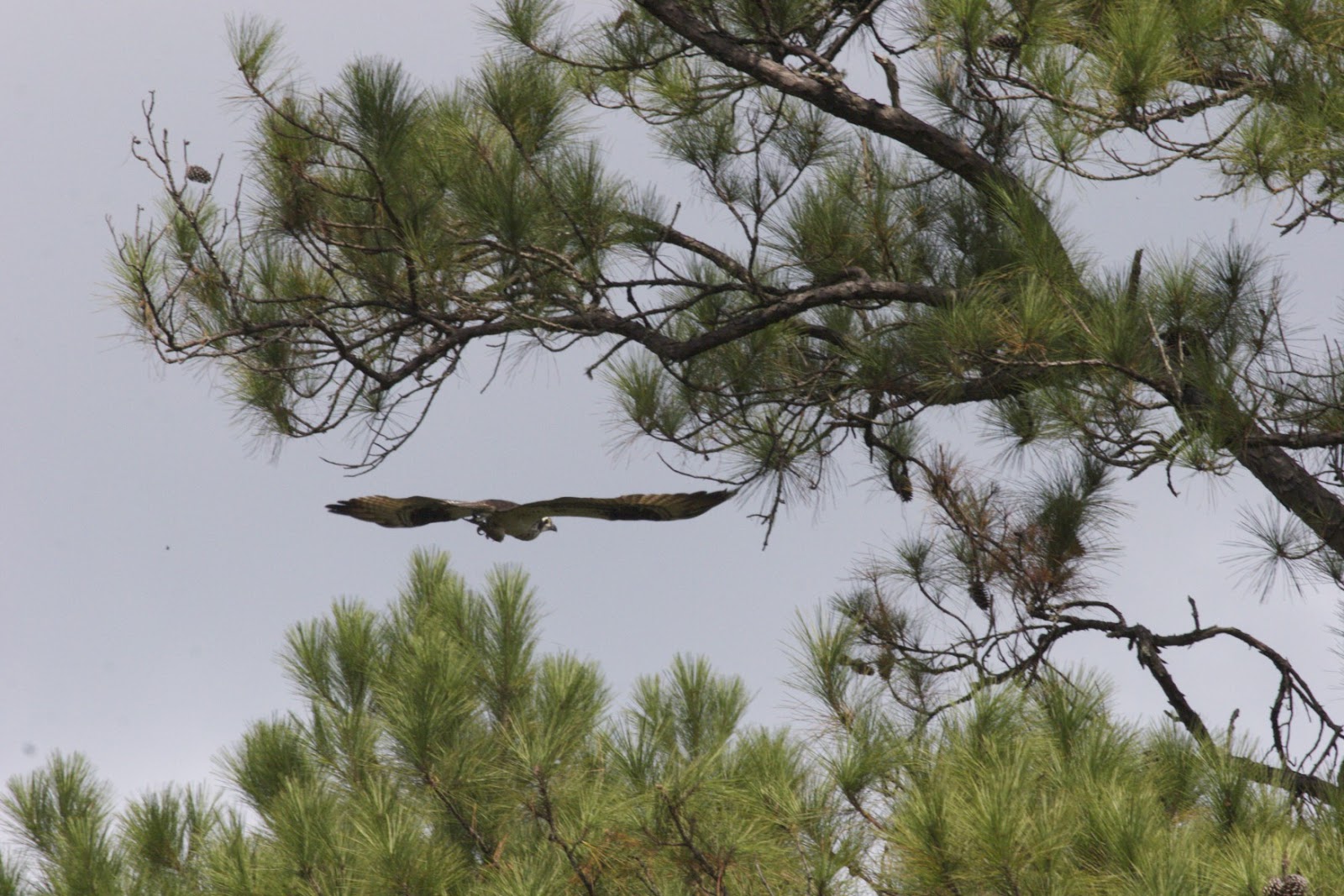
Okefenokee Swamp is a shallow, 438,000-acre (1,770 km
2),
peat-filled wetland straddling the
Georgia–
Floridaborder in the United States. A majority of the
swamp is protected by the
Okefenokee National Wildlife Refuge and the
Okefenokee Wilderness. The Okefenokee Swamp is considered to be one of the
Seven Natural Wonders of Georgia. The Okefenokee is the largest "
blackwater" swamp in North America. Although folklore and many references state that the word,
okefenokee, is a Native American word, meaning,"land of trembling earth," it is actually the anglicization of the Itsate Creek Indian words,
oka fenoke, which mean "water- shaking."
[1] The swamp was designated a
National Natural Landmark in 1974.
[2]
The swamp was formed over the past 6,500 years by the accumulation of peat in a shallow basin on the edge of an ancient Atlantic coastal terrace, the geological relic of a Pleistocene estuary. The swamp is bordered by
Trail Ridge, a strip of elevated land believed to have formed as coastal dunes or an offshore barrier island. The
St. Marys River and the
Suwanee River both originate in the swamp. The Suwanee River originates as stream channels in the heart of Okefenokee Swamp and drains at least 90% of the swamp's watershed southwest towards the Gulf of Mexico. The
St. Marys River, which drains only 5–10% of the swamp's southeastern corner, flows south along the western side of Trail Ridge, through the ridge at St. Marys River Shoals, and north again along the eastern side of Trail Ridge before turning east to the Atlantic.
Longtime residents of the Okefenokee Swamp, referred to as "Swampers", are of overwhelmingly
English ancestry. Due to relative isolation, the inhabitants of the Okefenokee used Elizabethan phrases and syntax, preserved since the early colonial period when such speech was common in England, well into the 20th century.
[3] The
Suwanee Canal was dug across the swamp in the late 19th century in a failed attempt to drain the Okefenokee. After the Suwanee Canal Company's bankruptcy, most of the swamp was purchased by the Hebard family of Philadelphia, who conducted extensive cypress logging operations from 1909 to 1927. Several other logging companies ran railroad lines into the swamp until 1942; some remnants remain visible crossing swamp waterways. On the west side of the swamp, at
Billy's Island, logging equipment and other artifacts remain of a 1920s logging town of 600 residents. Most of the Okefenokee Swamp is included in the 403,000-acre (1,630 km
2)
Okefenokee National Wildlife Refuge.
A
wildfire begun by a lightning strike near the center of the refuge on May 5, 2007, eventually merged with another wildfire which began near
Waycross, Georgia, on April 16 when a tree fell on a power line. By May 31, more than 600,000 acres (2,400 km
2), or more than 935 square miles, had burned in the region.
[4][5]
The Okefenokee Swamp Alliance is a conservation group that works for the continued preservation of the swamp.