Showing posts with label hiking. Show all posts

Saturday, March 5, 2016

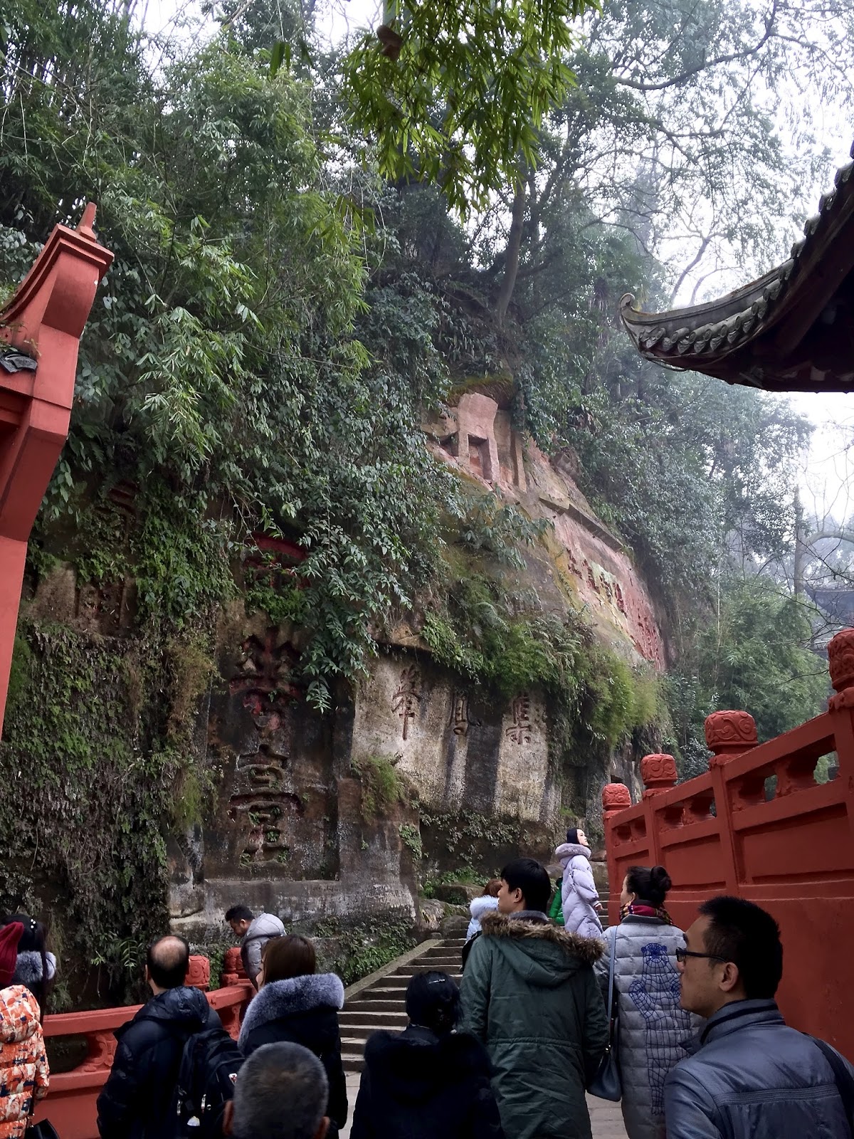
Leshan Giant Buddha Scenic Area, Sichuan, China

The Leshan Giant Buddha (simplified Chinese: 乐山大佛; traditional Chinese: 樂山大佛; pinyin: Lèshān Dàfó) is a 71-metre (233 ft) tall stone statue, built during the Tang Dynasty. It is carved out of a cliff face that lies at the confluence of the Minjiang, Dadu and Qingyi rivers in the southern part of Sichuan province in China, near the city of Leshan. The stone sculpture faces Mount Emei, with the rivers flowing below his feet. It is the largest stone Buddha in the world and it is by far the tallest pre-modern statue in the world.
The Mount Emei Scenic Area, including Leshan Giant Buddha Scenic Area has been listed as a UNESCO World Heritage Site since 1996.
Construction was started in 713, led by a Chinese monk named Haitong. He hoped that the Buddha would calm the turbulent waters that plagued the shipping vessels traveling down the river. When funding for the project was threatened, he is said to have gouged out his own eyes to show his piety and sincerity. After his death, however, the construction was stuck due to insufficient funding. About 70 years later, a jiedushi decided to sponsor the project and the construction was completed by Haitong's disciples in 803.
Apparently the massive construction resulted in so much stone being removed from the cliff face and deposited into the river below that the currents were indeed altered by the statue, making the water safe for passing ships.
A sophisticated drainage system was incorporated into the Leshan Giant Buddha when it was built. It is still in working order. It includes drainage pipes carved into various places on the body, to carry away the water after the rains so as to reduce weathering.
When the Giant Buddha was carved, a huge thirteen storey wood structure was built to shelter it from rain and sunshine. This structure was destroyed and sacked by the Mongols during the wars at the end of the Yuan Dynasty. From then on, the stone statue was exposed to the elements.


Sunday, October 4, 2015

The Great Wall of China

The Great Wall of China is a series of fortifications made of stone, brick, tamped earth, wood, and other materials, generally built along an east-to-west line across the historical northern borders of China to protect the Chinese states and empiresagainst the raids and invasions of the various nomadic groups of the Eurasian Steppe. Several walls were being built as early as the 7th century bce; these, later joined together and made bigger and stronger, are now collectively referred to as the Great Wall. Especially famous is the wall built 220–206 bce by Qin Shi Huang, the first Emperor of China. Little of that wall remains. Since then, the Great Wall has on and off been rebuilt, maintained, and enhanced; the majority of the existing wall is from the Ming Dynasty.
Other purposes of the Great Wall have included border controls, allowing the imposition of duties on goods transported along the Silk Road, regulation or encouragement of trade and the control of immigration and emigration. Furthermore, the defensive characteristics of the Great Wall were enhanced by the construction of watch towers, troop barracks, garrison stations, signaling capabilities through the means of smoke or fire, and the fact that the path of the Great Wall also served as a transportation corridor.
The Great Wall stretches from Dandong in the east, to Lop Lake in the west, along an arc that roughly delineates the southern edge of Inner Mongolia. A comprehensive archaeological survey, using advanced technologies, has concluded that the Ming walls measure 8,850 km (5,500 mi). This is made up of 6,259 km (3,889 mi) sections of actual wall, 359 km (223 mi) of trenches and 2,232 km (1,387 mi) of natural defensive barriers such as hills and rivers. Another archaeological survey found that the entire wall with all of its branches measure out to be 21,196 km (13,171 mi)


Saturday, August 29, 2015

Amicalola Falls State Park, Georgia, USA

From the Wiki https://en.wikipedia.org/wiki/Amicalola_Falls_State_Park
Amicalola Falls State Park is an 829 acre (3.35 km²) Georgia state park located between Ellijay and Dahlonega in Dawsonville, Georgia. The park's name is derived from a Cherokee language word meaning "tumbling waters".[1] The park is home to Amicalola Falls, a 729-foot (222 m) waterfall, making it the highest in Georgia.[2] It is considered to be one of the Seven Natural Wonders of Georgia. An eight-mile (13 km) trail that winds past Amicalola Falls and leads to Springer Mountain, famous for being the southern terminus of the Appalachian Trail, begins in the park. Amicalola Falls State Park also offers many hiking trails, a guest lodge, restaurant, cabins, a shelter for long distance Appalachian Trail hikers, a campground and access to the eco-friendly Len Foote Hike Inn.